
There’s a hush as you step onto the Routeburn Track. The beech forest swallows sound, its moss-draped branches filtering soft light, while the river rushes somewhere below, crystalline and untamed. Here, in the wild meeting place of Fiordland and Mount Aspiring National Parks, every footstep is part of a larger story; one of deep history, fragile ecosystems, and raw mountain grandeur.
Day One: Into the Green World
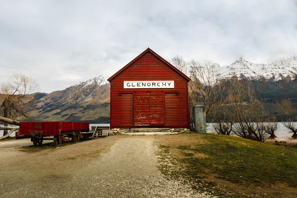
From the Routeburn Shelter near Glenorchy, the trail winds through ancient red and silver beech trees, their trunks cloaked in moss and lichens that seem older than memory itself. The Māori once travelled these valleys, guided by rivers and stars, seeking pounamu (greenstone) in the mountains. Now, hikers follow their path into a living green cathedral.
Fantails flutter ahead, fearless and quick, while tomtits and robins dart between trunks. The forest floor is alive with ferns, their fronds unfurling in delicate spirals — New Zealand’s iconic koru shape, a symbol of new beginnings.
You emerge into the wide sweep of Routeburn Flats, where alpine grasses ripple like a golden sea. Ahead, waterfalls tumble down sheer cliffs, marking the climb to your first resting place: Routeburn Falls Hut, perched above the valley, where kea sometimes wheel in the evening air.

Day Two: Crossing the Sky
This is the day the mountains reveal themselves. The track ascends past tarns and scree to the Harris Saddle, the highest point on the Routeburn at 1,255 metres. Here, the air thins, and the world stretches out in every direction: the Hollyford Valley plunging toward the Tasman Sea, jagged ridges tearing into the clouds, and the track itself clinging like a silver thread.
Above the saddle, a side trail leads to Conical Hill, a stony perch where you stand suspended between earth and sky. This is alpine country, shaped by ice over millennia. Lichens cling stubbornly to rock, and alpine buttercups — the world’s largest buttercup — bloom in short bursts of colour against the greys and whites of stone and snow.
Descending along the Hollyford Face, the track feels carved into the mountain’s ribs. Here the mischievous kea (below), the world’s only alpine parrot, makes its home. Intelligent and curious, these olive-feathered birds are known to unzip packs, steal socks, and dismantle anything left unguarded. They are tricksters, survivors, and symbols of New Zealand’s untamed spirit.
By late afternoon, you reach the serene shores of Lake Mackenzie, turquoise waters cradled in a bowl of sheer cliffs and forest. It feels like a secret, hidden world — a place to rest, swim, and watch the stars emerge over the mountains.
Day Three: Waterfalls and Valleys
The final day carries you back into lushness. The alpine fades into dripping-green rainforest, where the air smells of earth and rain. The trail passes Earland Falls, a 174-metre ribbon of water that thunders down rock, sending spray into the air. Some days you walk through rainbows here, the falls scattering sunlight into fragments.
Birdsong returns — tui with their metallic notes, riflemen (Aotearoa’s smallest bird) flitting in the undergrowth, and the occasional call of a morepork owl echoing in the morning mist. At Lake Howden, you pause to look across its still waters, before the track climbs gently to Key Summit. The side path here is a revelation: a wetland plateau dotted with tarns that mirror the mountains and sky, with boardwalks threading through cushion plants and alpine mosses. It is a reminder of how delicate this environment is shaped over thousands of years and thriving only in stillness.
The track ends at The Divide, but the journey lingers long after. The Routeburn is not simply a walk through mountains; it is a walk through time, ecology, and myth. Each swing bridge, each echoing valley, each feathered companion reminds you that this land is alive — and that we are only ever visitors here.
✨ New Zealand’s Alpine Story
The Routeburn Track is a pilgrimage into the heart of Aotearoa. It brings together Māori pathways, glacial landscapes, rare birds, and alpine flora in a single, sweeping journey. It’s a reminder of resilience, adaptation, and the beauty of wildness, qualities that speak as much to us as to the land itself.
How to Walk the Routeburn Track
The Routeburn Track is one of New Zealand’s most spectacular Great Walks — a 33-kilometre journey through two UNESCO World Heritage-listed national parks: Fiordland and Mount Aspiring. It links the lush temperate rainforests of the South Island’s west coast to the alpine ridgelines overlooking glacial valleys. Whether you’re walking for solitude, scenery, or a sense of achievement, the Routeburn delivers all three.
🌿 The Essentials
Distance: 33 km (one way)
Time: 2–4 days
Difficulty: Intermediate (well-marked track with some steep climbs)
Season: Late October – April (Great Walk season)
Start/Finish: Routeburn Shelter (near Glenorchy, Queenstown) ↔ The Divide (near Milford Sound/Te Anau)
Elevation: Highest point at Harris Saddle – 1,255 m